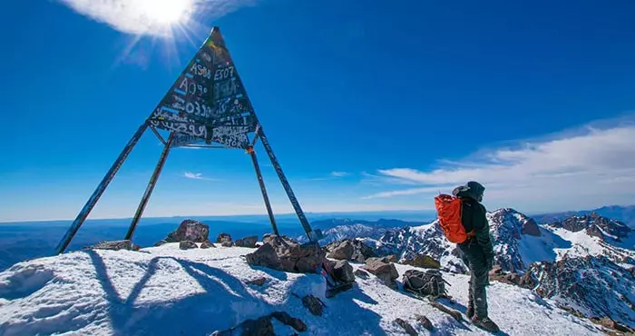
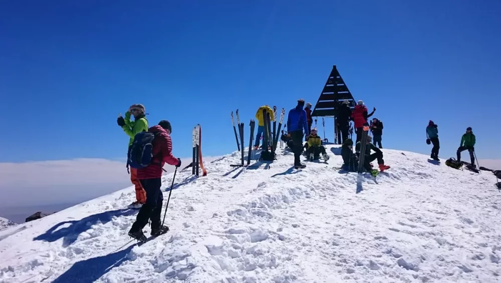
Morocco has some of the most beautiful mountains in the world and is a year-round trekking destination. On the longer Toubkal Circuit, climb North Africa’s highest peak, Jebel Toubkal, and meet the Berbers.
Where to Trek
Toubkal Summit & Circuit;
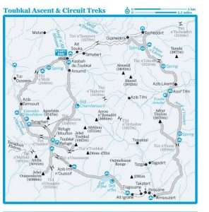
Morocco’s most famous trek is an ascent of Jebel Toubkal, North Africa’s highest peak (4167m). The two-day hike begins in Imlil, near Marrakesh, and those who want to go further can hire mules for a 10-day Toubkal Circuit trek.
Quick Links
- The Toubkal snows
- The four 4000m of Toubkal
- My Berber friend
- Toubkal Circuit
- Toubkal 3 days from marrakech
- Mount Toubkal 4-day Trip
- Toubkal Round Trek Via Berber Villages
TREKKING GUIDEBOOKS
AThe Atlas Mountains: A Walking and Trekking Guide by Karl Smith. Published by the walking specialist Cicerone, this has route descriptions and information on subjects such as ski-touring, although it gets mixed reviews.
AMountaineering in the Moroccan High Atlas by Des Clark. Also published by Cicerone, this guide – subtitled ‘walks, climbs and scrambles over 3000m’ – is destined to become a classic. It covers some 50 routes and 30 peaks in handy pocket-sized, plastic-covered form, with plenty of maps, photos and practical information.
ATrekking in the Moroccan Atlas by Richard Knight. Has 43 maps and information ranging from green hiking tips to language advice, although it also has both fans and detractors. Likely to be the most useful book for inexperienced trekkers, but also the bulkiest.
Toubkal National Park
Don’t miss the highest mountain in North Africa, snowcapped Jebel Toubkal (4167m), located in the heart of the Toubkal National Park, for pure mountain air that cuts through the heat and leaves you giddy. The mountain trails that crisscross Jebel Toubkal begin in Imlil, at the end of the Mizane Valley. On the way to Imlil, stop in Asni, 47 kilometers south of Marrakesh, for roadside tajines and the Saturday souq.
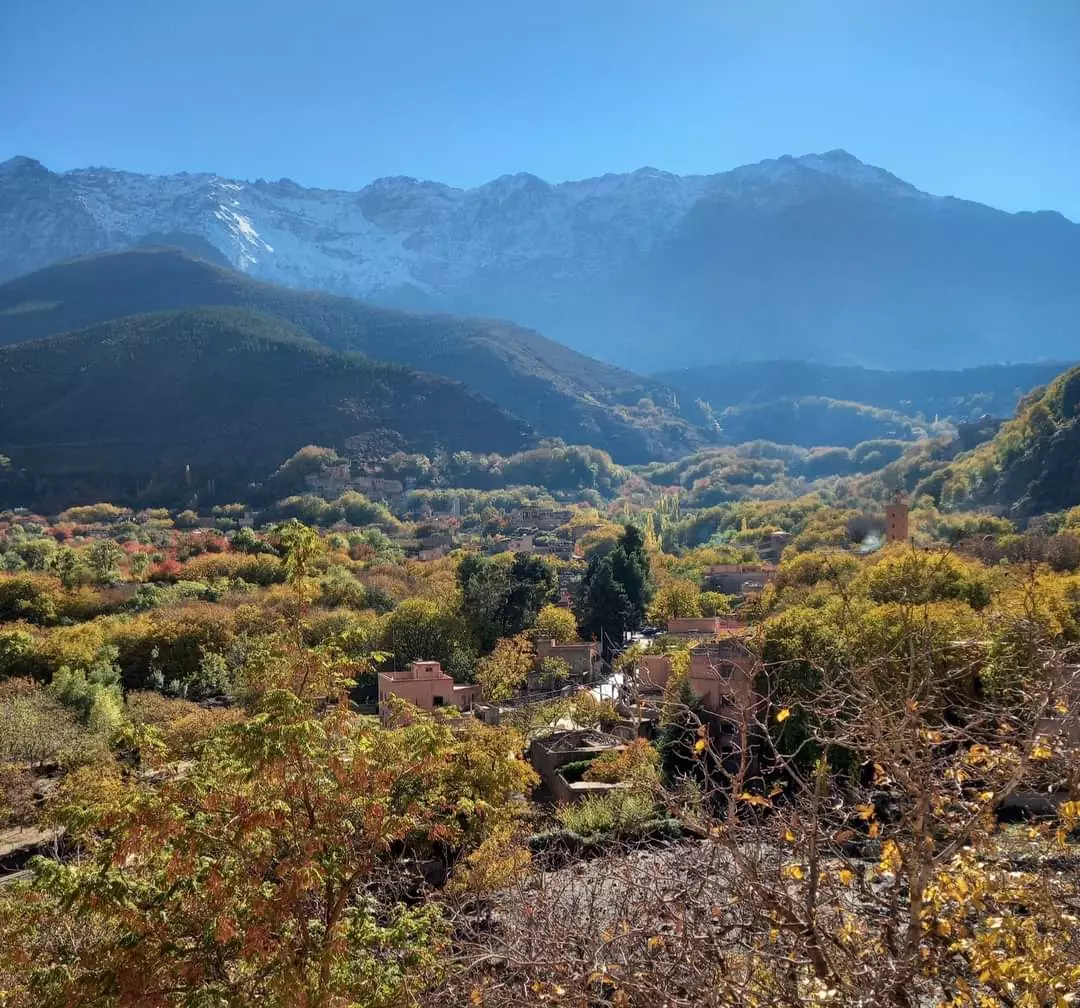
Imlil, a popular stopping point for mountain hikers, is only a five-hour hike from the base of Jebel Toubkal, and you won’t want to miss waking up in these flowering High Atlas foothills in spring.
Activities Imlil is the main trekking base for the ascent of Jebel Toubkal, and the entire town caters to trekkers and their needs. Ascents to the summit leave daily from here, though high season traffic may put a damper on your fantasy of being a lone mountain ranger. To avoid the well-trodden path, head southwest over Tizi n’Mzik (2489m) to the beautiful Cascades d’Irhoulidene near Azib Tamsoult before either ascending the Toubkal summit from the west (covered on Days 6 and 7 of the Toubkal Circuit trek) or heading east down the unspoiled Azzadan Valley.
If you don’t have much time, you can walk to Aroumd and back in a few hours by following the mule track along the western edge of the Mizane river.
Jebel Toubkal Ascent
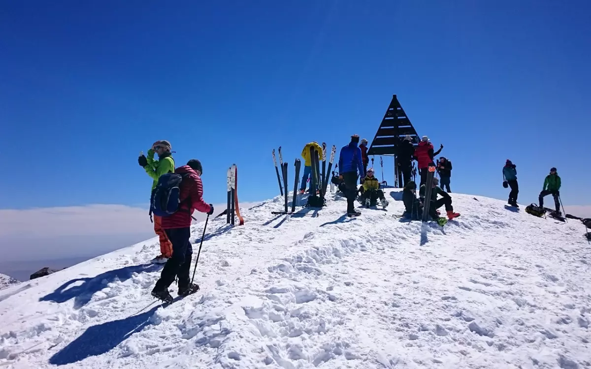
Jebel Toubkal (4167m), North Africa’s highest peak, does not require any climbing experience. Anyone in good physical condition can reach the summit in the summer.
THE TREK AT A GLANCE
Duration Two days
Distance 22km
Standard Medium to hard
Start/Finish Imlil village
Highest Point Jebel Toubkal (4167m) Accommodation Camping and mountain refuges
Public Transport Yes
Summary The most popular walk in the High Atlas, with magnificent views. The route is straightforward, but the trek up the scree slope is hard, and trekkers can be struck with altitude sickness. The trek is best in summer and autumn, but check conditions before departure – there can be snow even in June.
Day 1: Imlil To Toubkal Refuge
DURATION FIVE TO SIX HOURS DISTANCE 10KM ASCENT 1467M
It’s best to leave Imlil early in the morning because the road past Aroumd is all uphill with little shade. Take the dirt road that leads to Aroumd (Armed). The path zigzags steeply upwards before rejoining the road at Aroumd, where towering slopes close in around you. Cross the stony valley floor past Aroumd and follow the well-defined mule trail uphill to a large rock above the eastern side of the Assif Reraya, which leads to the hamlet and marabout of Sidi Chamharouch (2310m). Cascades, pools, and a prime picnic spot in the shady overhang of the rocks await beyond the marabout, to the left of the track.
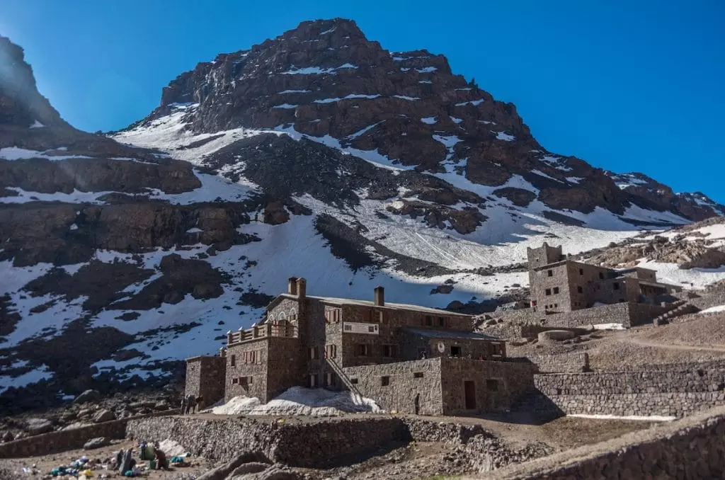
After crossing the river via the bridge at Sidi Chamharouch, the rocky path forks away from the river and zigzags above the valley floor for 2 kilometers. It then levels off before rejoining the river’s course. The Toubkal Refuge is visible for an hour before you arrive, immediately below Jebel Toubkal’s western flank.
Day 2: The Ascent
DURATION NINE HOURS DISTANCE 12KM ASCENT & DESCENT 960M
Set out as early as possible to avoid climbing in the sun – there is no shade, only rocks – and bring plenty of water and snacks. You may not be acclimatized if you walked here directly from Imlil, so keep a steady, slow pace to avoid altitude sickness. If you have a severe headache or nausea, go down immediately. Do not sleep on the slope, no matter how tempting it may be.
Two cwms (glacial valleys) run down Toubkal’s western flank, separated by the west-northwest ridge that descends from the summit. The southern cwm is the more common route, beginning immediately below the refuge on the left, where you cross the river and head east to the scree slope.
Begin climbing the well-defined path to the left of the slope, cross the boulder field, and then follow the path that zigzags up to Tizi n’Toubkal (3940m), which is visible straight ahead on the skyline. The path then bears left (northeast) and follows the ridge to the summit (4167m). Allow up to four hours to reach the summit, depending on your fitness level and the weather. Continue down the same path you came down, bearing left when you see the refuge. The descent to the refuge should take no longer than 2 hours, after which you can return to Armoud or Imlil. If you intend to stay another night at the refuge, you could take the longer route via the Ikhibi sud (south) circuit. It’s a simple four-hour walk down to the refuge for well-deserved congratulations and chocolate.